Back to Services
GIS & Remote Sensing
Advanced geospatial mapping, satellite imagery analysis, and spatial data management for environmental and resource management applications.
Overview
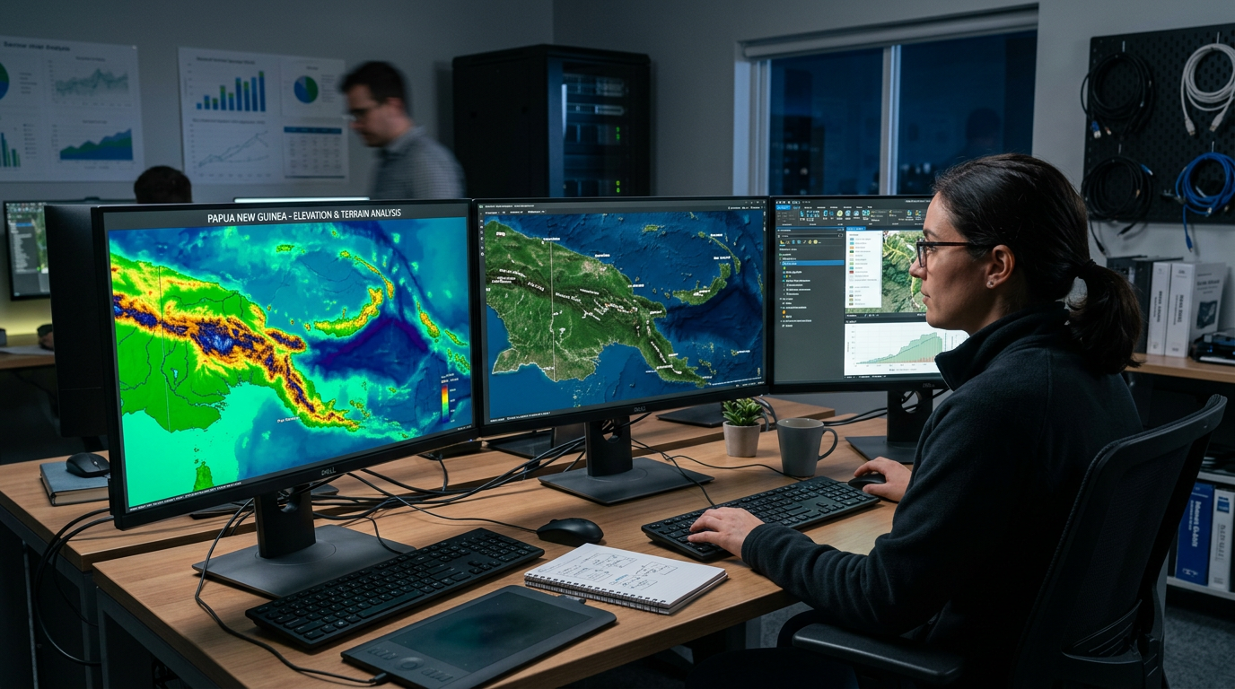
Crystal Green leverages cutting-edge GIS and remote sensing technologies to provide spatial data solutions for environmental management, resource exploration, and infrastructure planning across Papua New Guinea.
Methodology
- Satellite and aerial imagery acquisition
- Land use and land cover mapping
- Digital elevation modelling
- Spatial analysis and geostatistics
- Custom GIS database development
- Web mapping applications
Deliverables
- GIS Mapping Products
- Land Use Classification Maps
- Spatial Analysis Reports
- Custom Geodatabases
- Web Map Applications
Applicable Industries
MiningOil & GasInfrastructureGovernment